Flooding in Tasmania
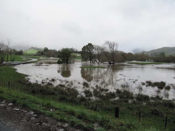
We encountered flooding throughout our travels in north-east Tasmania. The recent weather had been extremely wet and large areas of the Australian state had issued weather warnings.
We mainly saw the after effects of the rain. The water had had a few days to collect and was making its way down to the ocean.
We stopped at Pyengana to visit a Cheddar cheese producer. On our way we got the chance to stop and chat to a local farmer in the valley. He mentioned the bridge had been flooded seven times this year alone. He noted that the same bridge would typically be flooded only twice a year.

At St Helens we found the road to the Bay of Fires closed. Signs blocking the road in St Helens warned drivers to go no further.
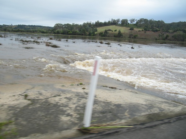
Thankfully the following morning saw the road re-opened. We took our chance to visit the bay. Just beyond St Helens was a low bridge that the water had presumably submerged the day before. The water was surging near the top of bridge as we drove over.

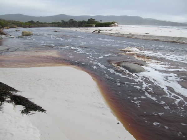
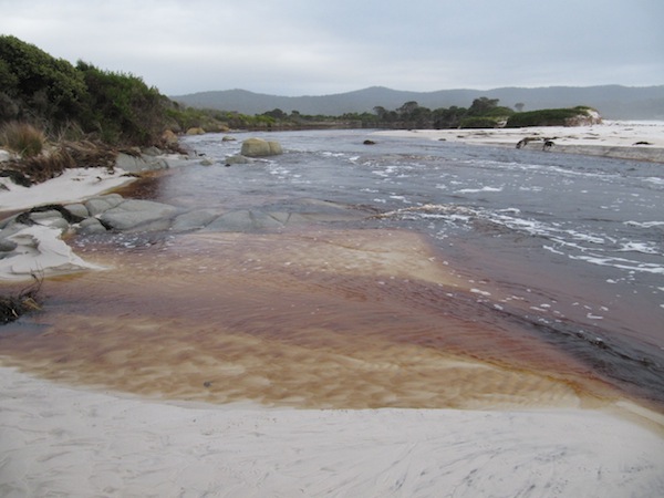
At a beach near St Helens, we discovered a channel had been carved by the flood water. It made for a surreal sight. The beach had been cleaved in two by the tannin coloured flood water.

